A person cannot rise higher, a person cannot fall lower. A cycling tour of 13 km between the highest and lowest point of the municipality of Rheden.
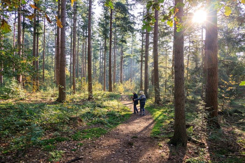
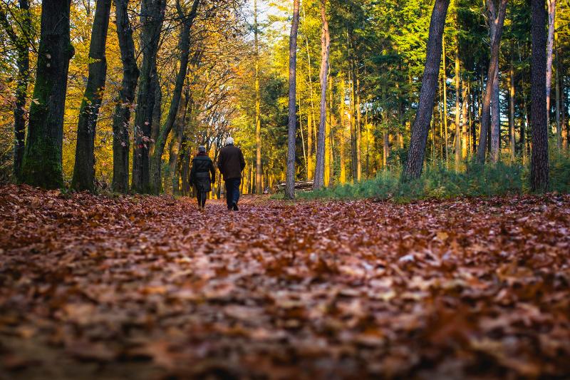
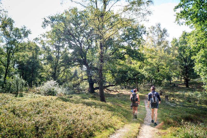
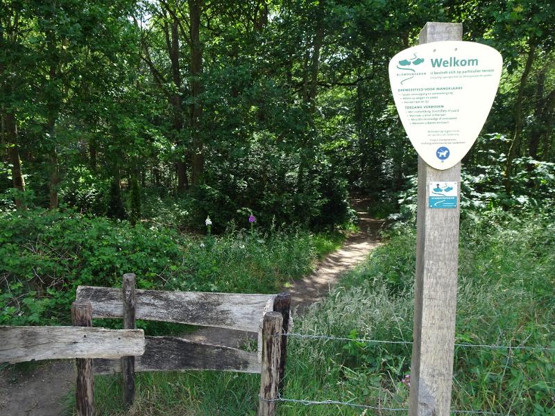
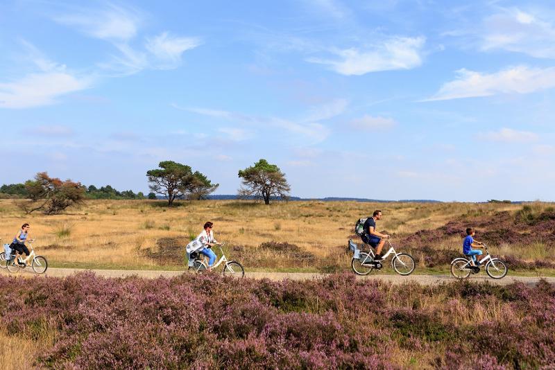
The Veluwezoom Drieslag route is a 13 km cycle tour that takes you past the highest and lowest point of the municipality of Rheden. Both points are marked with a monument.
This route is one of the routes specially developed for the 450th anniversary of the municipality of Rheden.
Height difference
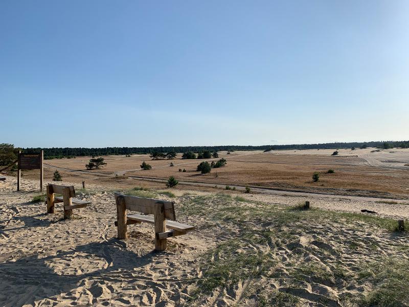
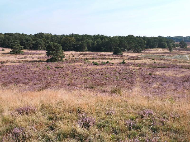
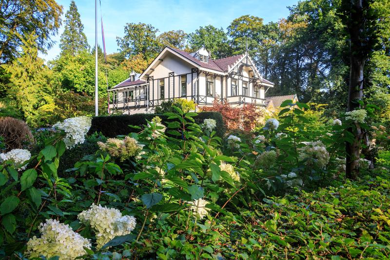
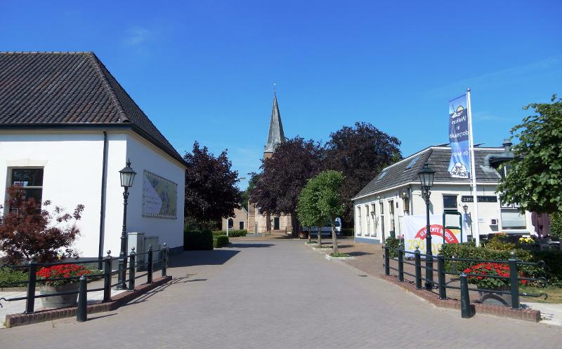
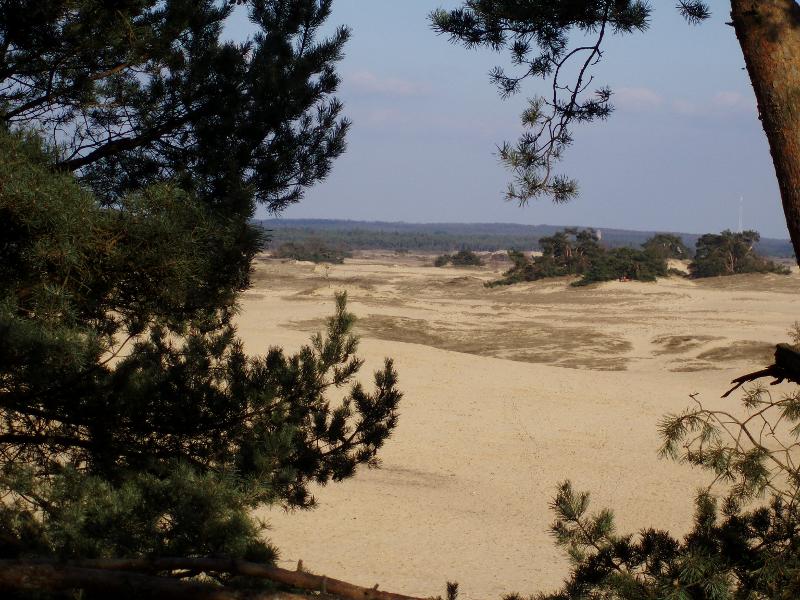
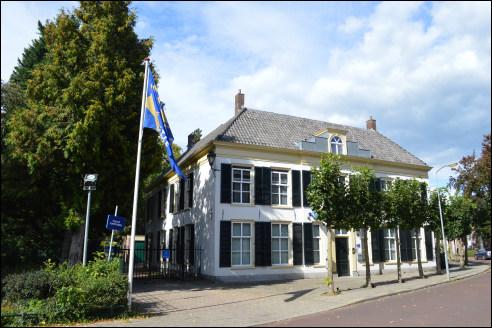
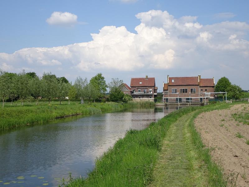
The municipality of Rheden with its 7 villages located between the Veluwe and the IJssel has a varied landscape. The IJssel forms the natural border of the municipality. All these differences also involve a significant height difference. The highest point in the municipality, close to the Posbank and the Rozendaalse Zand, is 109 meters above NAP, while the lowest point, the IJsseloever in Dieren, is only 6 meters above NAP.
Directions and brochure
For a complete overview of the route and directions with the highest point of the Veluwe as a starting point, view the brochure here .
- Category:
- Cycling
- Cycling route