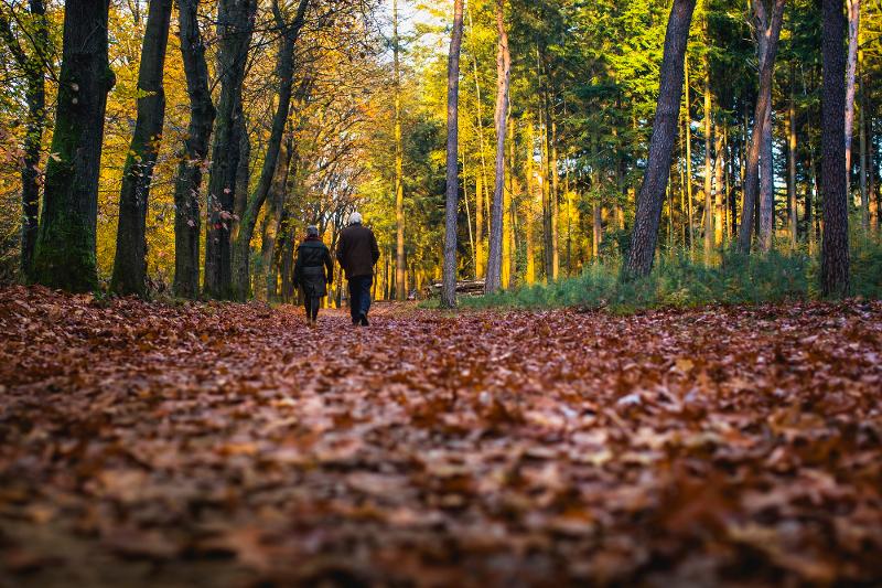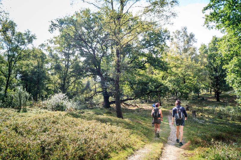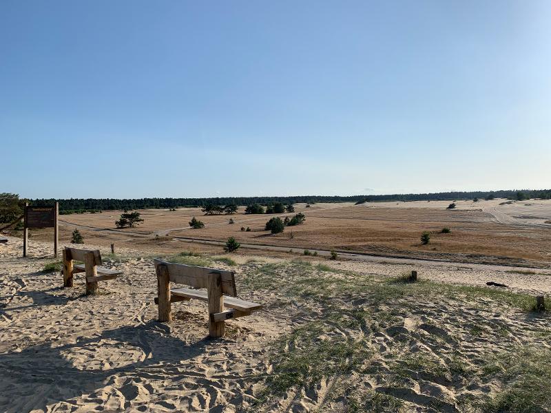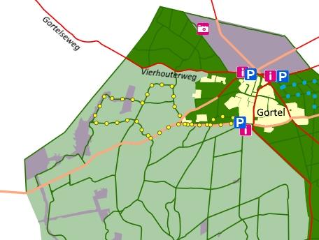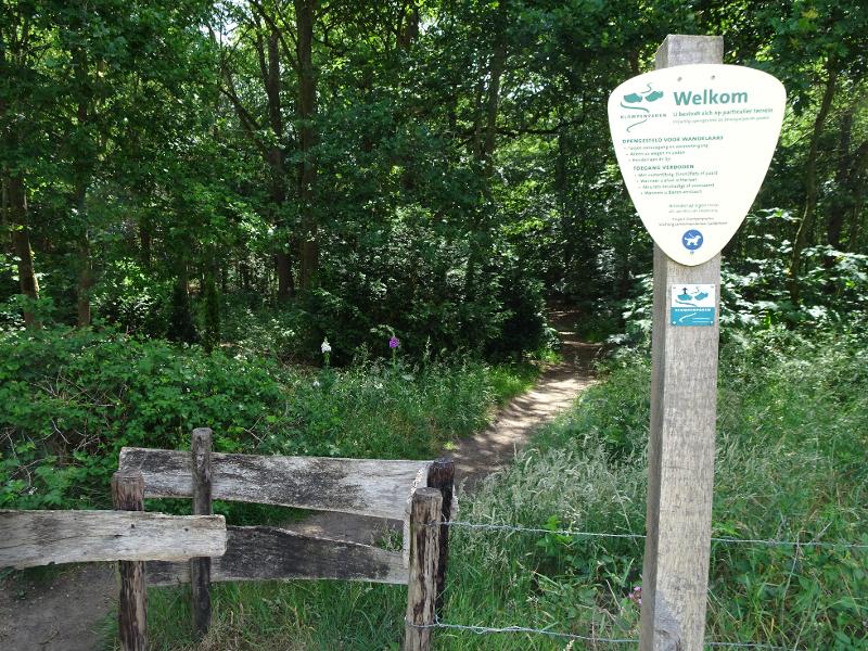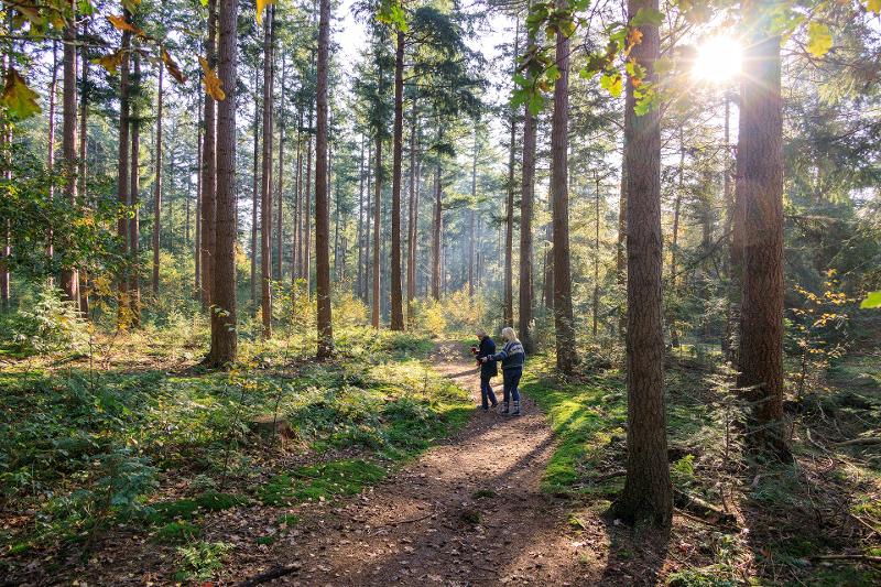
The cultural-historical route is approximately 8 km long and starts on Beukenlaan in the center of the Schovenhorst estate, near the information board. The walk takes you over a large part of the estate. The route is marked with posts with red markings.
An estate like Schovenhorst is an ensemble of forests, tree gardens, buildings and public facilities. If you look a little closer, you will also see that it is a collection of memories. Memories that are sometimes tangible and sometimes only recognizable in stories or names of buildings and places on the estate. The memories differ in nature and time: the burial mounds date from the Bronze Age, the trade routes from the Middle Ages, the tree gardens and buildings were constructed from 1848 onwards and works of art were only installed in the last decade.
The cultural-historical walk is a journey through time. Every place tells its story. A richly illustrated route booklet is available in which these stories are described. You can buy this booklet on the estate in Brasserie Schovenhorst and the De Tien Malen museum. The booklet can also be purchased at the bookstore or via the website of the Schovenhorst estate. The booklet costs €9.95.
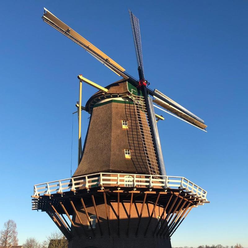
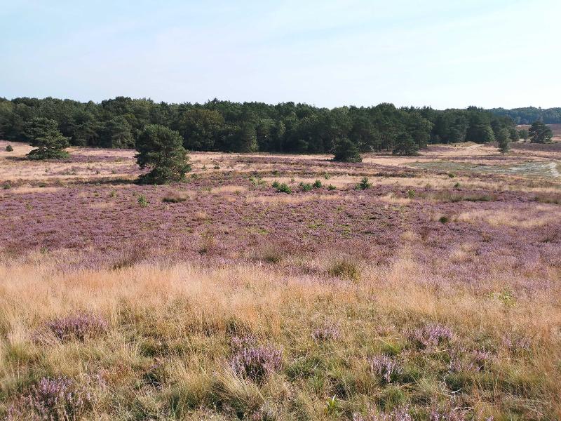
Forests and tree gardens
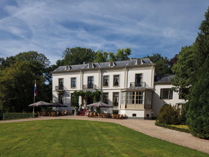
Its history as an estate began in 1848. Mr. JH Schober bought a piece of wasteland, built a border wall around it and conducted all kinds of experiments. He grew hops and other agricultural crops, and grew fruit in greenhouses and in the open air. Forestry turned out to be most suitable for this soil. In the Walled Garden he grew trees from seeds and planted them in nurseries – the current tree gardens. There he found out which tree species did well on Schovenhorst. Partly due to his efforts, the Douglas fir became an important tree species in Dutch heath forests and is now of great importance for domestic timber production. This route takes you past various experiments and tree species from all over the world.
tides and moraines
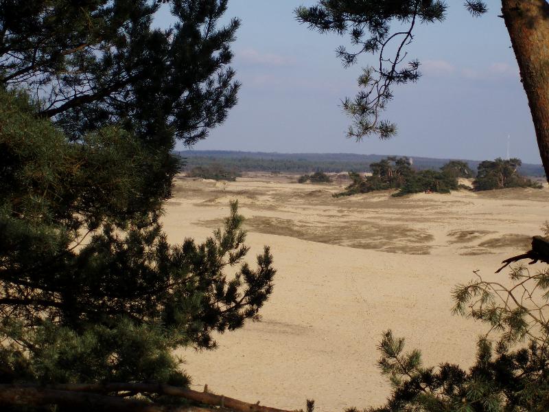
The appearance of Schovenhorst is strongly determined by nineteenth and twentieth century reclamation and afforestation, but there are also traces from a distant past. The landscape was created more than 150,000 years ago, during the penultimate ice age, when land ice moved from the north to cover half of the Netherlands and pushed enormous amounts of sand, gravel and stones in front of it. The most famous and largest collection of moraines in Europe is now known as the Veluwe.
The Kolk
The Kolk is probably a remnant from the penultimate ice age. In 1847 he was first drawn on a military staff map. In 1889, forest boss E. van Donkersgoed wrote: “A bowl or chamber that holds water and from ancient times was probably made that way by the Creator. But it was later made somewhat larger and more decent by Mr. Schober (founder of the estate). a watering place for his sheep.” Until the middle of the last century there was always water in the chamber. Carp have even been kept there. In 2012, a layer of loam was applied to the bottom, which now retains water.
Burial mounds
The first traces of man on Schovenhorst are the burial mounds. There are thirteen. During the time of the dolmen builders in Drenthe, farmers of the same culture lived on the Veluwe. Because the land ice had left no large stones here, their dead had to be buried in a different way. Initially this happened in pits, the so-called surface graves. Possibly in response to the dolmens, farmers also started making graves with a signaling function around 3000 BC: burial mounds. The number of burial mounds in the Netherlands far exceeds the number of dolmens, especially in Gelderland.
Hanseatic and Prinsenwegs
On old maps of the Veluwe you see a colorful collection of roads. Amid the maze of sand and forest paths that connected hamlets, there were important through routes along which merchandise and mail were transported. Hanseatic roads date from the period of the medieval trading alliance of Hanseatic cities. The fish that came ashore in Harderwijk went by fish cart across the Veluwe to Arnhem. You will encounter this route, the Arnhemse Karweg’, on your walk. The various hunting lanes and royal roads date from the period of the stadtholders (from 1685). Through these roads the colorful procession of the (king) stadtholder could easily follow the hunting party. The Old and New Prinsenweg in the walk refer to the Princes of Orange.
- Category:
- Walking
- Walking route