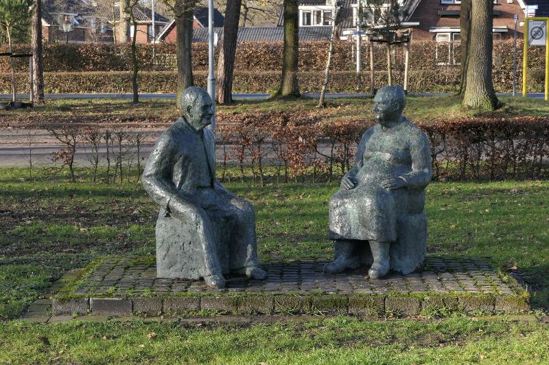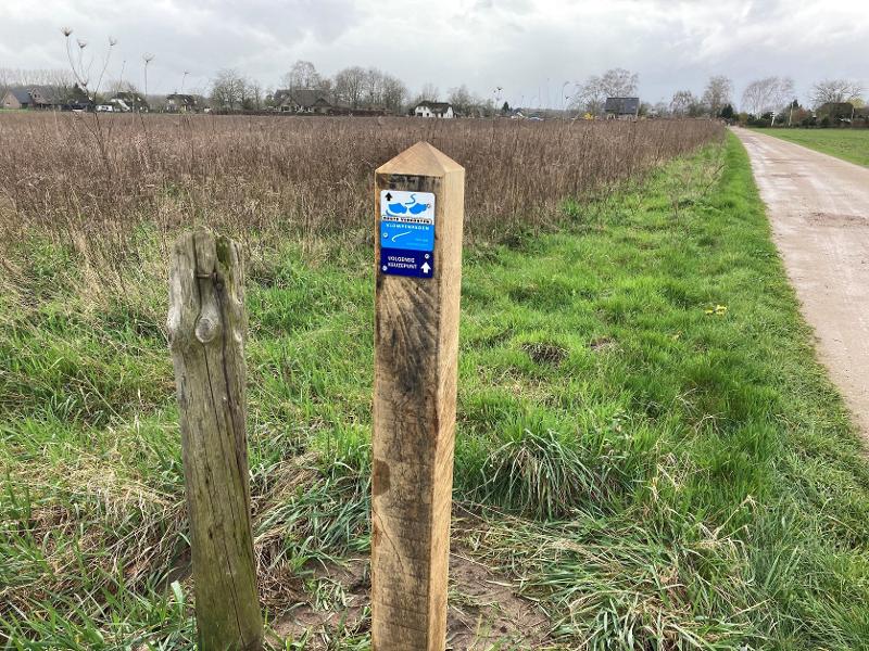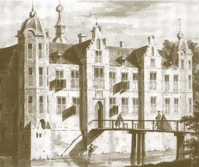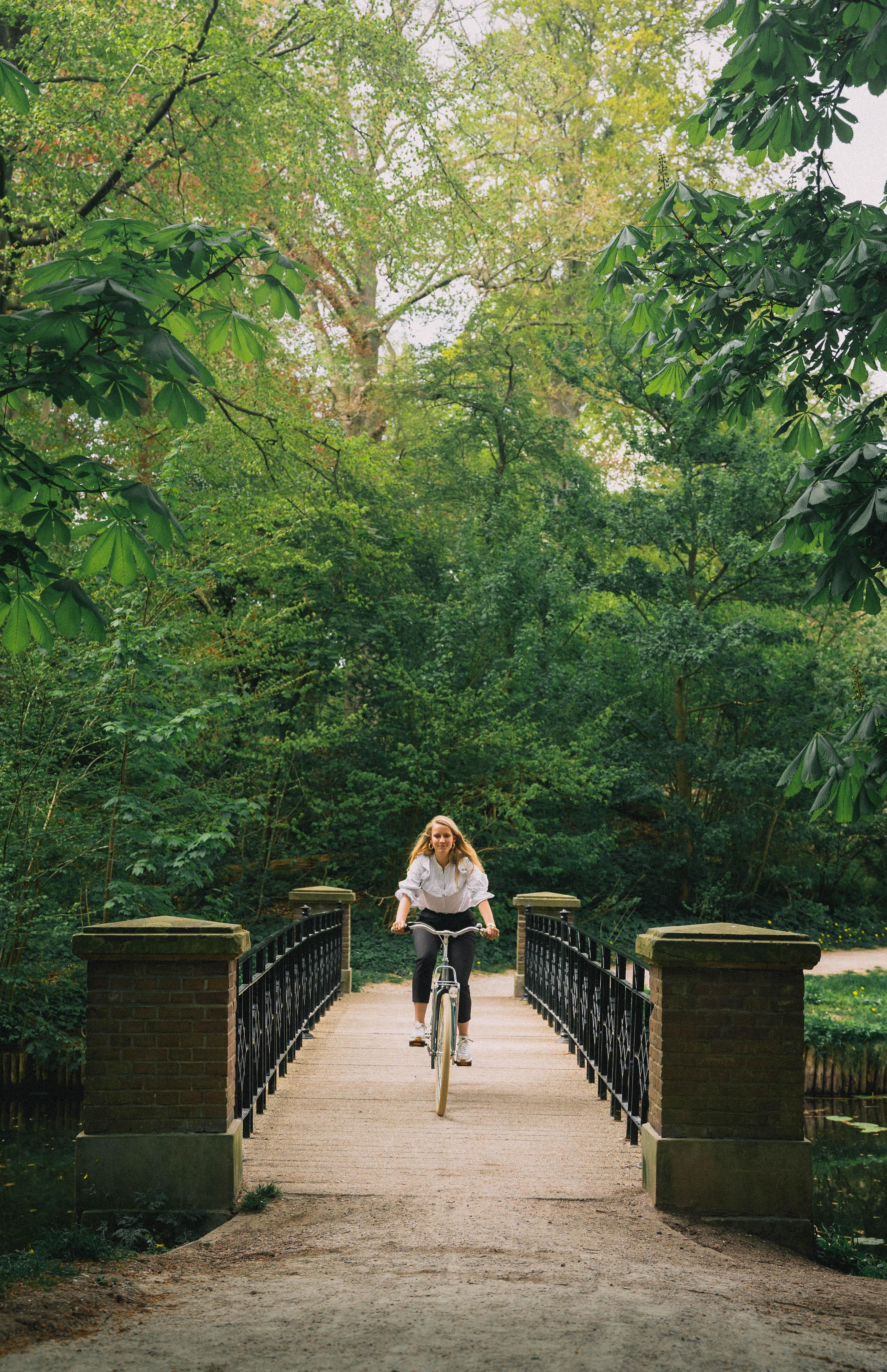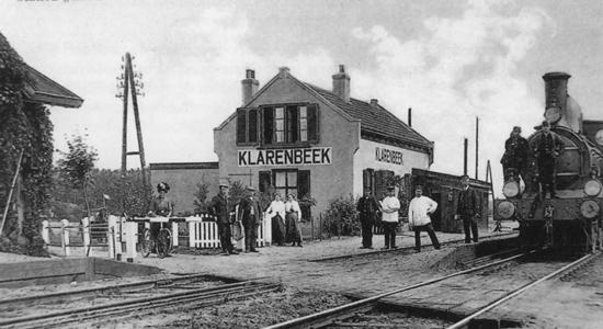
The route is indicated with a green marker in the shape of a clog. The route is marked in two directions, so you can walk the route either left or right.
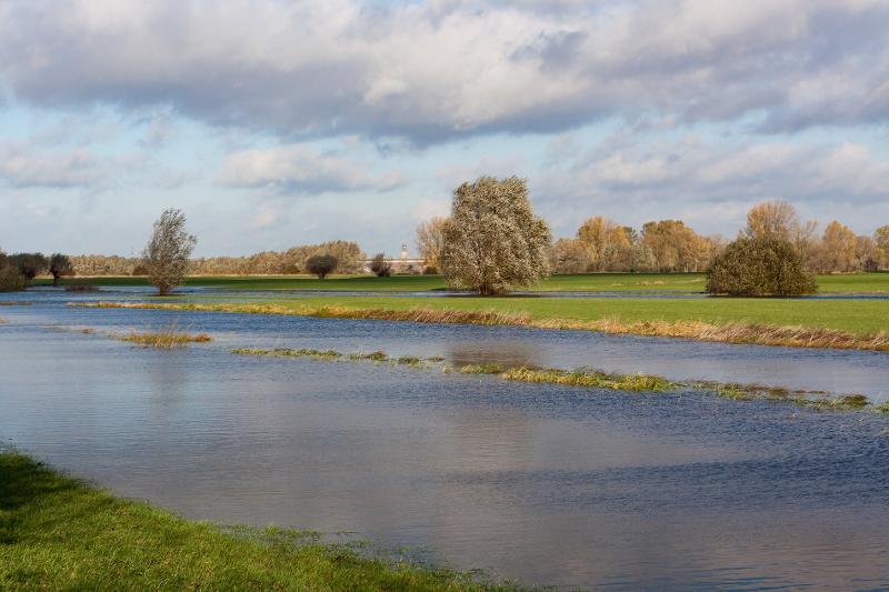
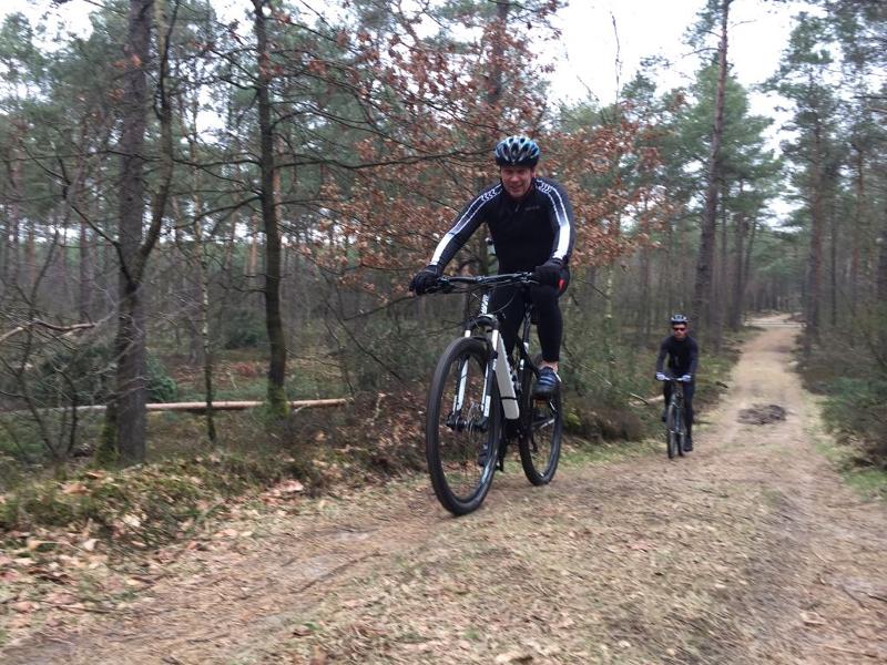
In wet periods the route can be very muddy. Boots are
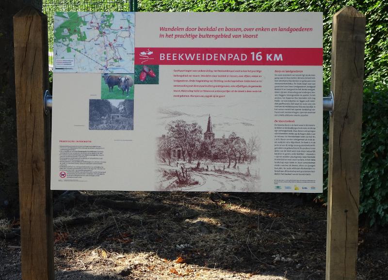
Tip: in addition to the signage in the field, use the route map from the brochure and/or the mobile app. Current information about, for example, (temporary) route changes can be found on the website and in the free app.
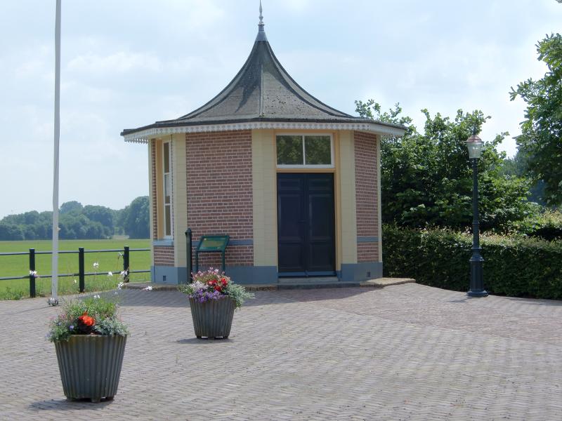
The Klarenbeeksepad can be combined with the Albapad , Oosterhuizen/Apeldoorn and the Beekweidenpad Voorst. Transfer points and routes are indicated on the map and in the field.
Please note: The hiking trail runs partly over private land, where cattle sometimes roam. To avoid disturbing the animals and to prevent the spread of animal diseases, dogs are prohibited.